High Tech’s Higher Purpose January 14, 2025

The high-tech tool behind Orlando’s makeover

Data helps designers reimagine downtowns
Illustration of a city.

Visitors to Orlando, Florida’s, theme parks can soar on high-speed roller coasters, stroll through shady groves, and hop on trains to move between attractions. But for decades, the people who lived and worked in Orlando, and even tourists who wanted to explore the city center on foot, found more mediocrity than magic downtown. Narrow sidewalks, lack of shade, and poor connectivity to transit made for an unpleasant pedestrian experience.

“Our goal is to improve walkability, safety, and overall livability."
David Barilla, executive director of Orlando’s Downtown Development Board and Community Redevelopment Agency

“The city center has faced challenges over the years, but we’ve been working hard to turn things around,” says David Barilla, executive director of Orlando’s Downtown Development Board and Community Redevelopment Agency. “Our goal is to improve walkability, safety, and overall livability by making the sidewalks more accessible day and night and introducing a variety of new offerings for everyone.”

To enliven the area and spur economic activity, a visioning process that began in 2014 is now taking shape with data-driven pedestrian and transit improvements, new residential and retail development, and placemaking initiatives. Downtown Orlando’s action plan, called DTO 2.0, was informed by public input and facilitated by StreetSeen, an urban design evaluation process and digital tool that helps create urban environments that make people feel safe, engaged, and connected to their community.

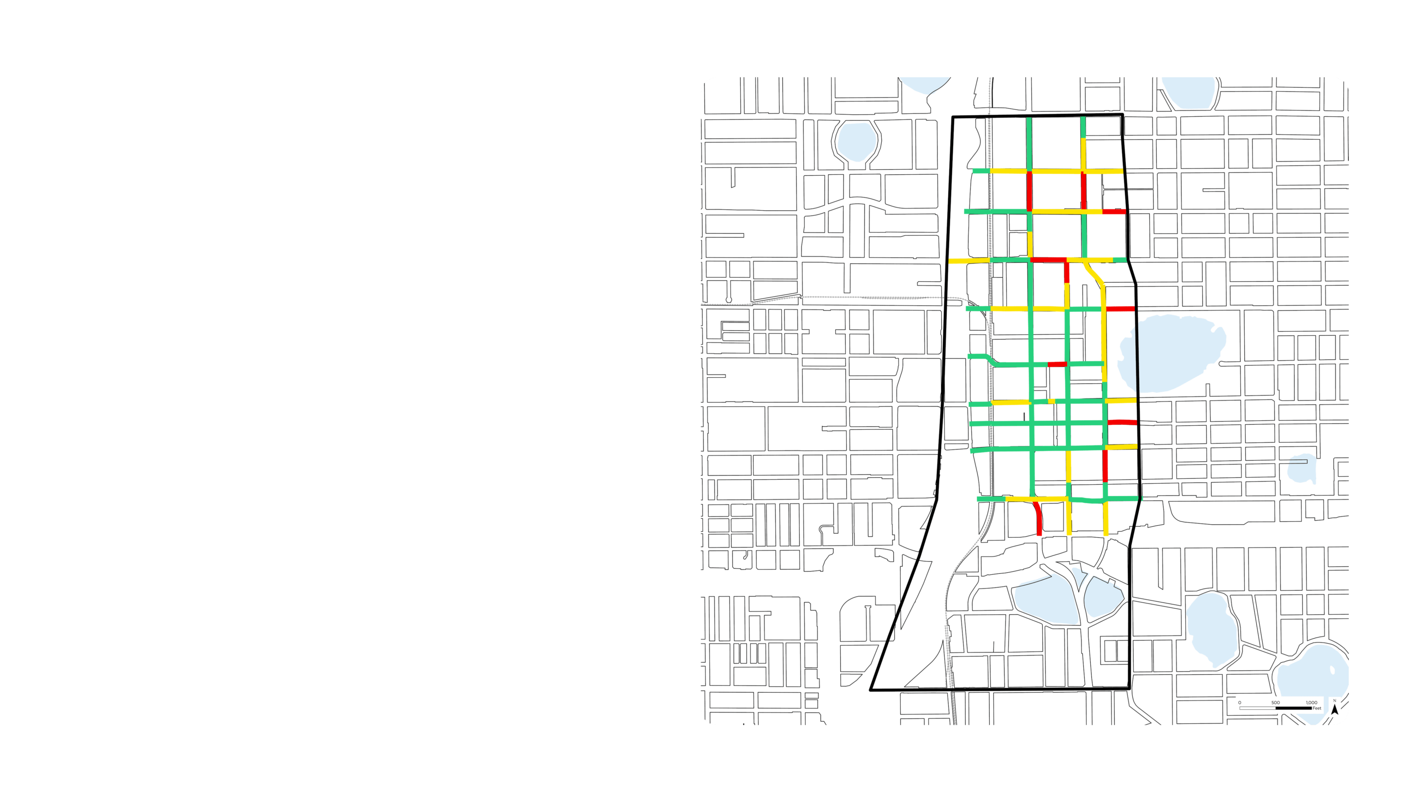
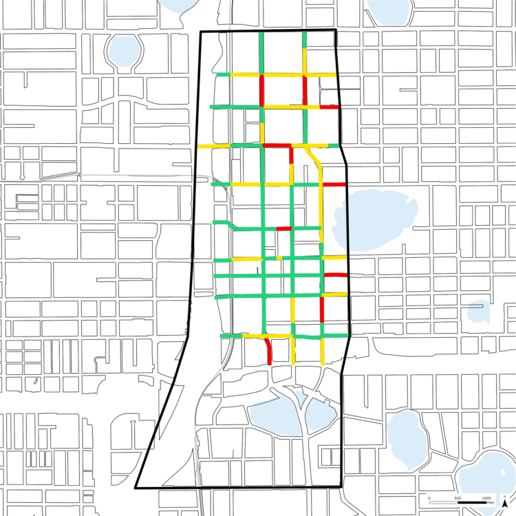
Urban researchers have identified physical conditions that contribute to the vibrancy and excitement of thriving downtowns. StreetSeen taps into their research and provides a framework for city planners and design teams to document shops, street trees, plazas, and walkways that make streets and other public spaces attractive destinations. It then provides performance metrics that evaluate the condition of the pavement as a walking surface, the architectural interest of the building facades, and the overall quality of the pedestrian experience. By combining the metrics with field observations and data from cloud-based mapping, StreetSeen provides a report on a downtown’s current conditions and ranks design options for improvements.


“StreetSeen provides us with valuable facts.”
David Barilla, executive director of Orlando’s Downtown Development Board and Community Redevelopment Agency

Downtown Orlando served as a test case for StreetSeen. Designers entered more than 25,000 data points gathered from the city center’s streetscapes. The report that came out of this process gave city leaders an accurate picture of their downtown’s walkability, connectivity, comfort, and activation at a block-by-block scale. It also allowed them to work with their design team to decide when and where to invest in projects like targeted redevelopment, facade improvement, ground floor reuse, sidewalk activation, and business attraction programs.

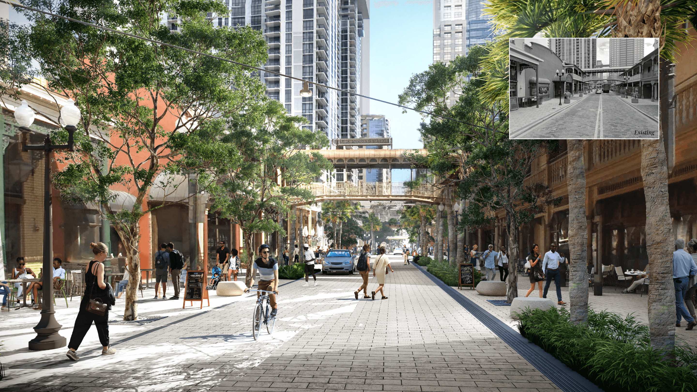
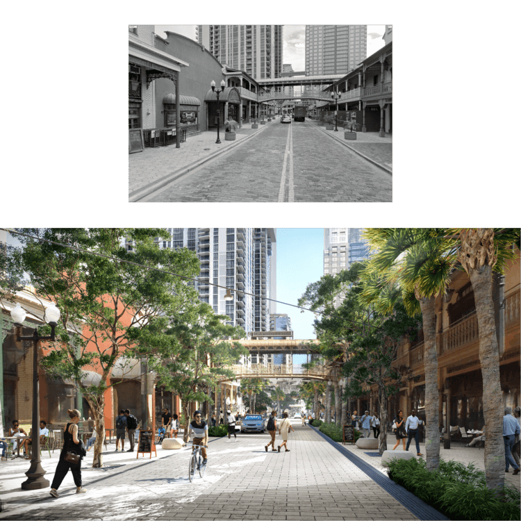
StreetSeen revealed that two downtown corridors, Magnolia Avenue and Church Street, were top priorities for streetscape improvements. The design team recommended installing wider sidewalks, more trees, more outdoor seating, and public art that enriches the pedestrian experience. The digital tool also gave city leaders the ability to measure and document the success of these changes over time.

“StreetSeen provides us with valuable facts,” Barilla says. “It offers data-driven insights that, combined with public input, help us implement our initiatives, and make downtown a place for our community to live, work, and play.”