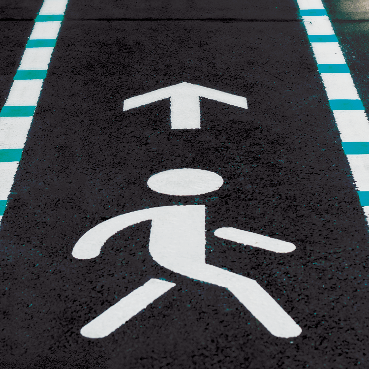

And so, the Right-of-Way Allocation Tool was born. A “right-of-way” is the legal right to pass through specific routes on property one does not own. It’s important because shared street space is typically owned privately, even as the public needs to maneuver through it. The tool allows cities to enhance people’s experiences when they’re out and about on city streets. It takes into account the demands of transit advocates trying to expand the bus network; bike planners trying to make the streets safer for cyclists and scooter riders; car and taxi drivers; and pedestrians. It also addresses the need—amplified by the pandemic—for public outdoor space.
“The right way to do right-of-way is to make the highest and best use of a space based on the uses and demands of the area,” Novsam says. “But currently, far more space tends to be allocated to streets than to parks or public lands. The Right-of-Way Allocation Tool makes it easier to prioritize people and address their needs.”
At its most basic level, the tool is a digital dashboard in which city planners, builders, or architects input information based on a street’s existing conditions, such as travel times for different modes of transportation, or the average delay at intersections. Then, it calculates how the street would function in different scenarios—for example, if parking lanes were swapped for bus lanes or outdoor dining.
Like many cities, Boston piloted an outdoor dining program during the pandemic that converted curbs and parking spaces in certain neighborhoods into rights-of-way, breathing new pedestrian life into places once dominated by cars. Now, there is a permanent version of the program in place. Through the Right-of-Way Allocation Tool, Boston’s decision-makers could assess how specific curbside spaces best serve the city’s people based on the surrounding businesses and traffic patterns. Novsam and his team are hopeful that the tool will be deployed in Honolulu, Hawaii next, as that city plans to reallocate rights-of-way near the busy Waikiki Beach area.
“The tool is a good jumping off point for cities and other agencies to fully commit to the idea that the streets are about more than just moving people,” Novsam says. “They’re all about making the most of this very limited space we have.”