Yonge-Eglinton Built Form Study
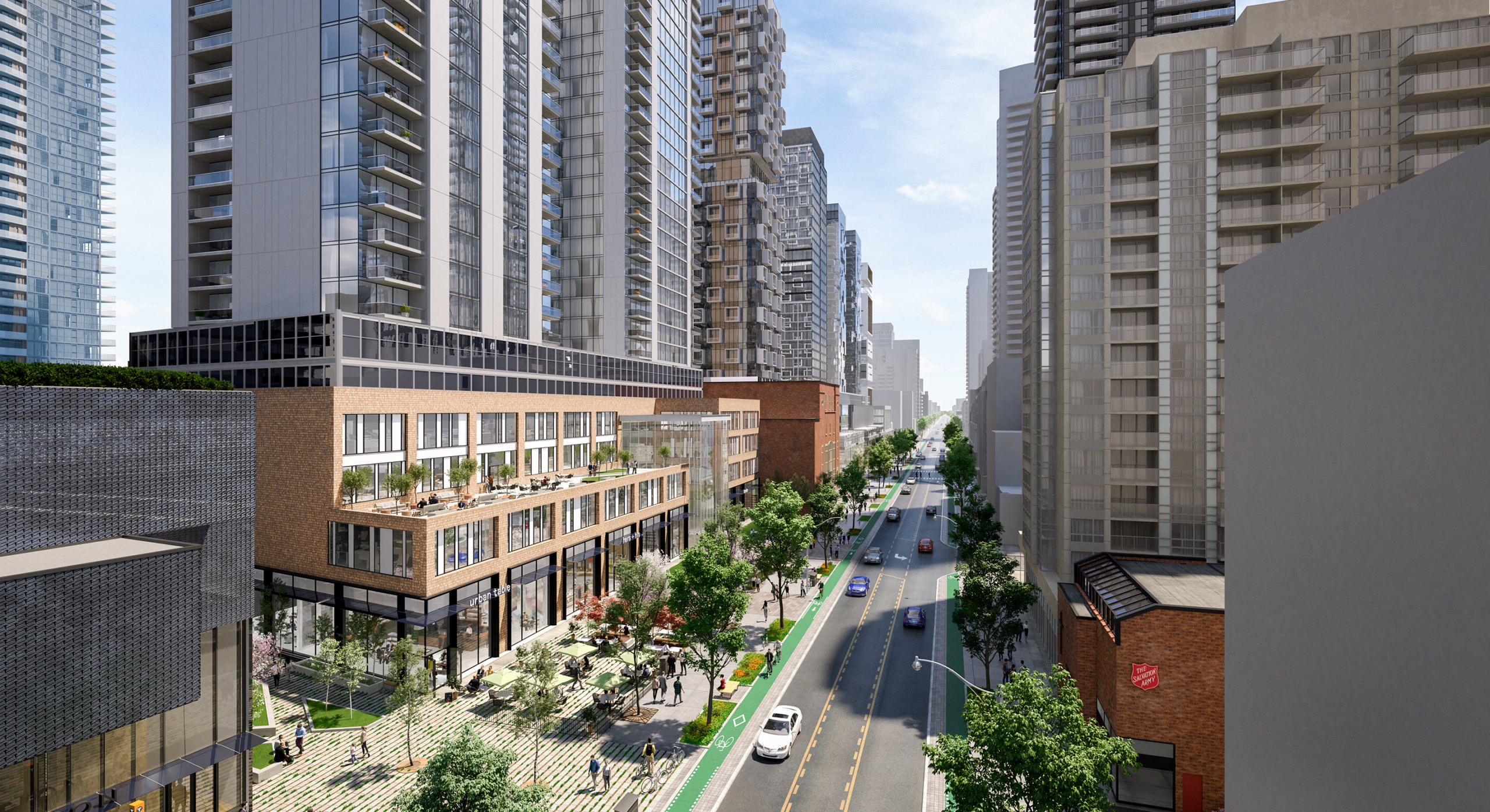
The built form study is part of a broad initiative led by the City of Toronto called “Midtown in Focus,” which is the City’s response to intense development pressure in the area. Home to a diverse mix of residents, employers, schools and shops, the Yonge-Eglinton neighbourhood has seen a massive population boom in recent decades hosting more high-rise cranes than the entire city of Chicago!
This growth and development can be a positive force in the evolution of Midtown Toronto, however, the cumulative impact of development activity surpassing the area’s infrastructure capacity may compromise quality of life for residents and visitors.
Working with the City, we conducted a study that employed computational modeling tools to allow for real-time testing of built form scenarios against the City’s mid-rise and tall building guidelines, sun-shadow impacts, micro-climate conditions, transit access and relationship to the public realm.
This resulted in a comprehensive series of built form recommendations for the diverse mix of character areas in the thriving Yonge-Eglinton neighbourhood.
Buildings are subject to the Toronto Green Standard, which includes higher energy conservation targets for mid to high-rise buildings. The Study includes assessments of the transportation and municipal servicing infrastructure to ensure that projected growth will be supported.
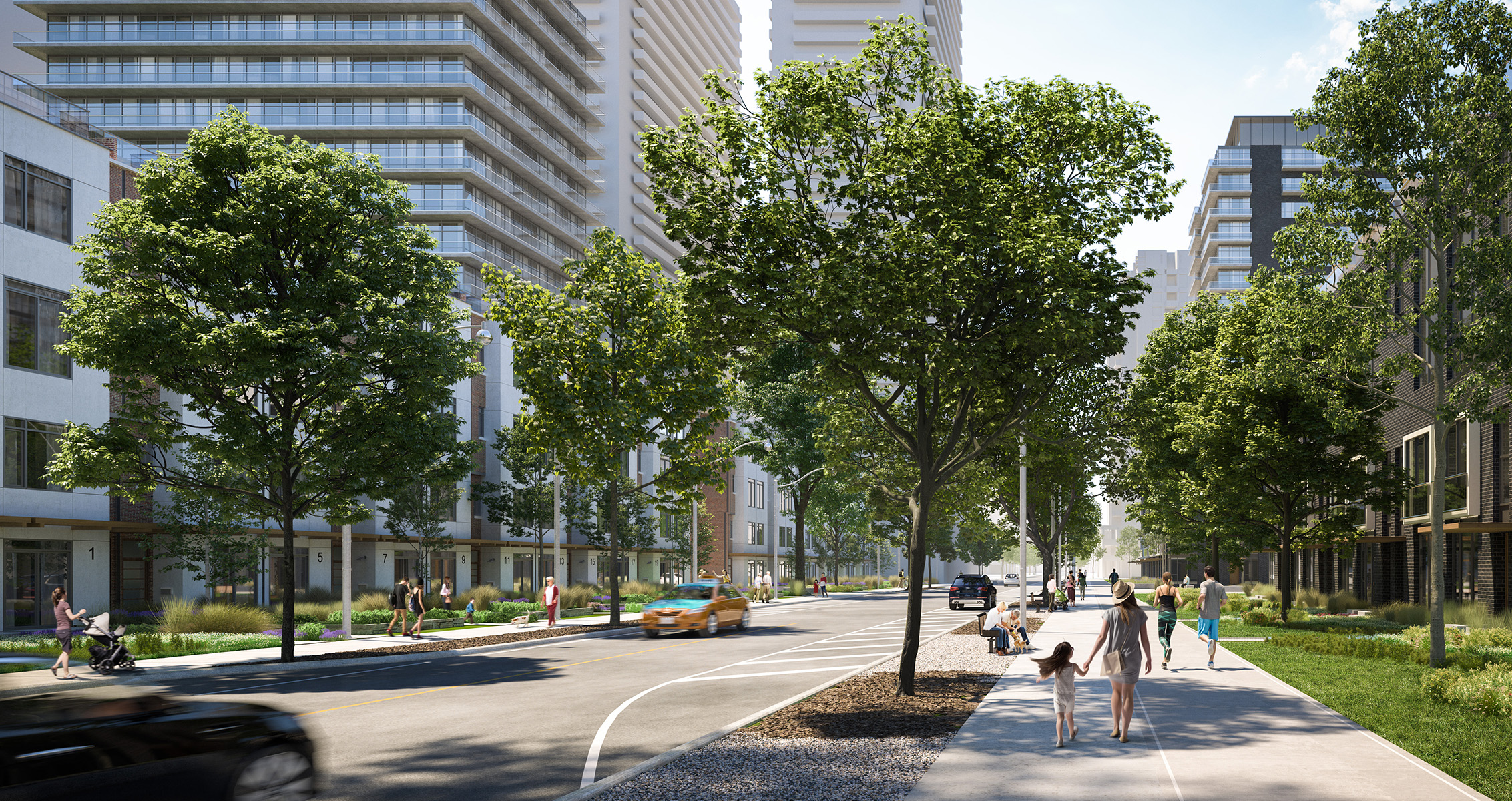
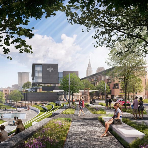
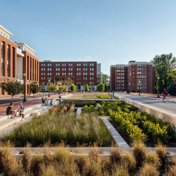
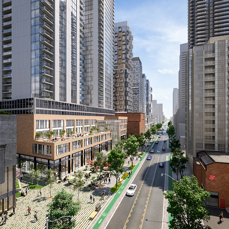
The Yonge-Eglinton neighbourhood is built on the structure of original streetcar suburbs, characterized by narrow blocks and small, frequent parks. The Study augments this network through the creation of new public streets, mid-block connections and wider sidewalks that will support transit usage while maintaining sunlight access onto sidewalks.
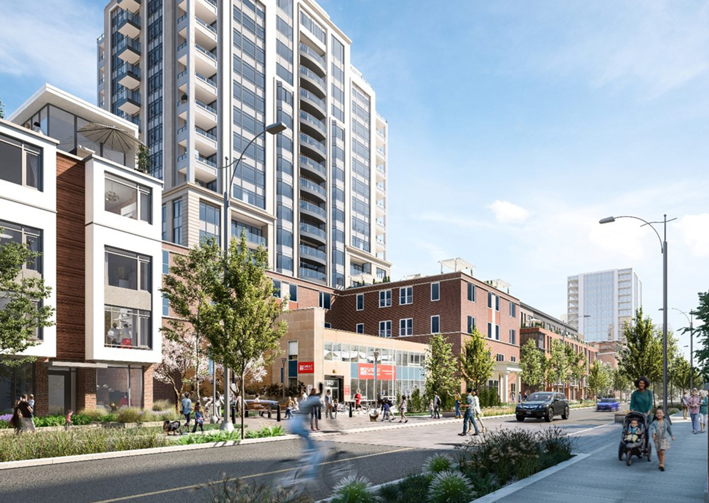
The Study aims to appropriately accommodate the scale and intensity density, thereby limiting urban sprawl. A parallel public realm plan developed a comprehensive plan for the open space network that included the rehabilitation of key green and natural areas include the Mount Pleasant Cemetery, Beltline Trail and Cedarvale Ravine.
The Study was developed in tandem with a Community Facilities and Services Study that identified gaps in community facilities (public and private) and projected needs to support a high quality of life and increasing social equity. Specific recommendations included rental replacement polies and a 20% affordable housing component for new development projects. The project was grounded through rigorous public consultation, which were used as crucial checkpoints at very phase to ensure that the built form framework proposed aligns with the community’s vision.
Project Team

Related Content